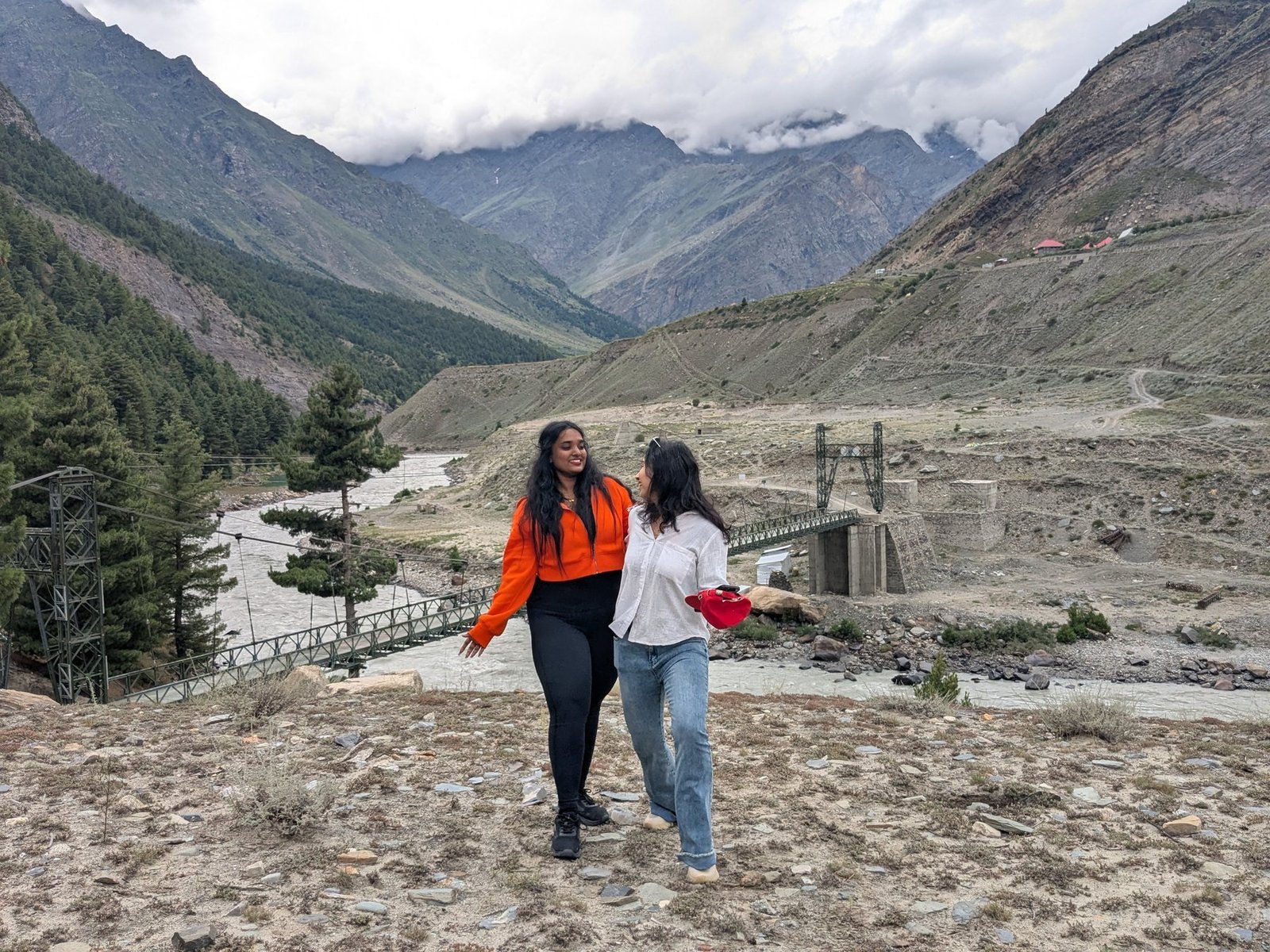
Route check
Ask for the current start point, distance, ascent and return time.
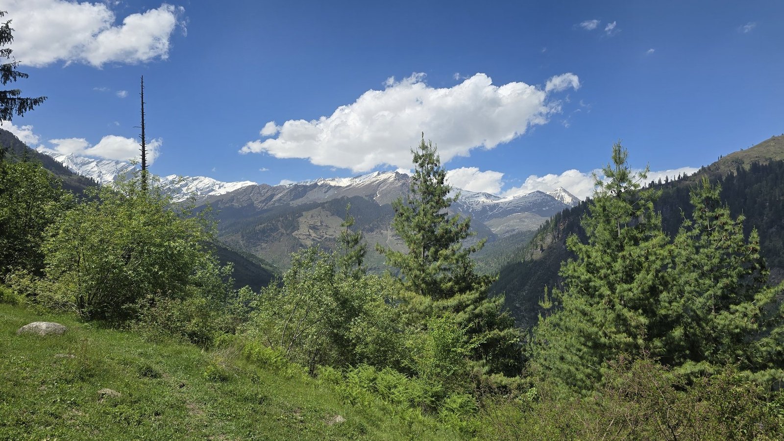
The Safar archive follows a route through trees and summer growth into a green meadow with mountain views. Confirm the current start point, distance and access.
ASK ABOUT MAJACH ↗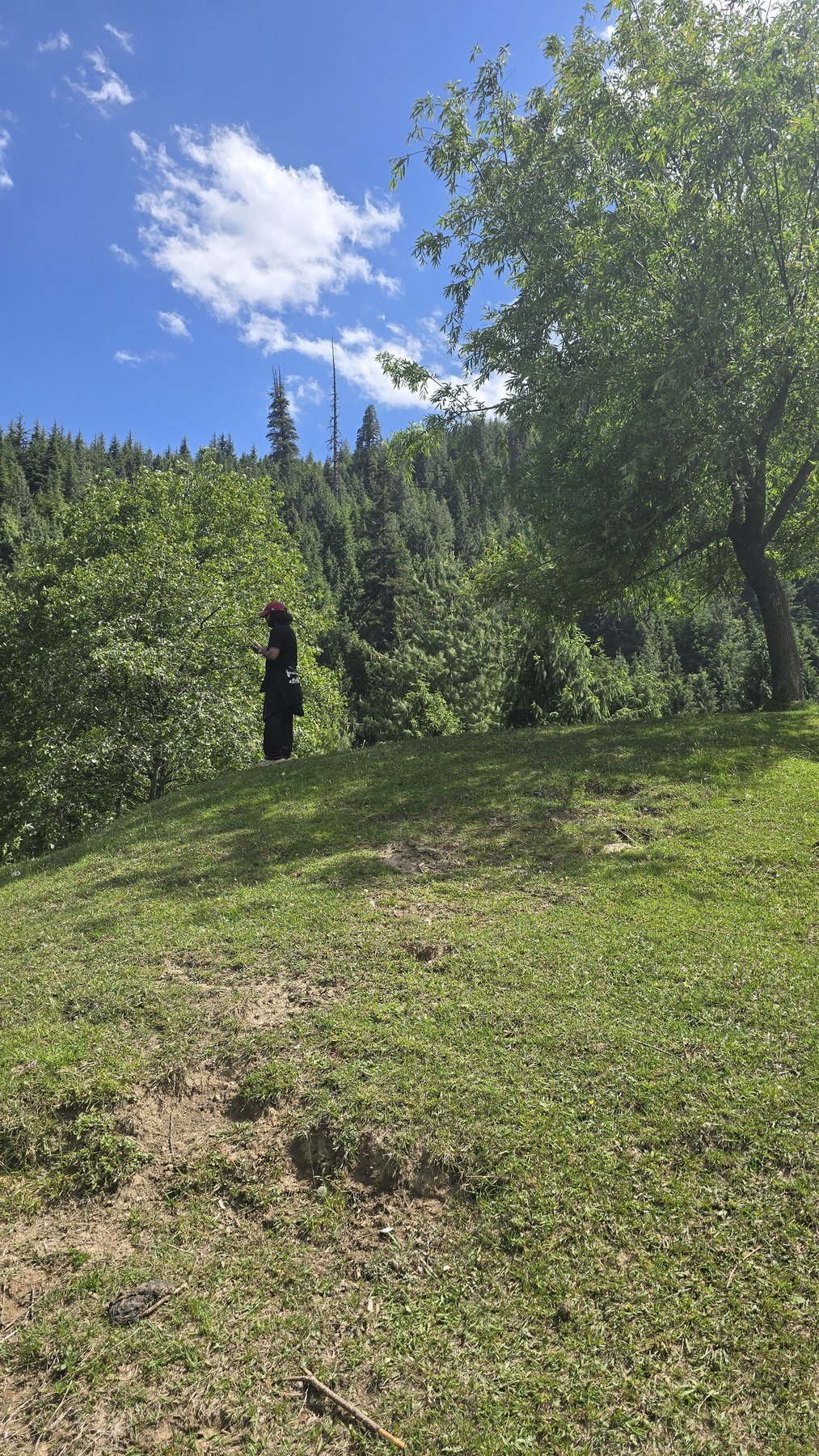
The photographs show the route rather than a promised summit: forest undergrowth, a meadow and an open ridge view. Ask for the day's actual difficulty.
Photographs from the property and guest archive. Image permissions are checked before final publication.
 01
01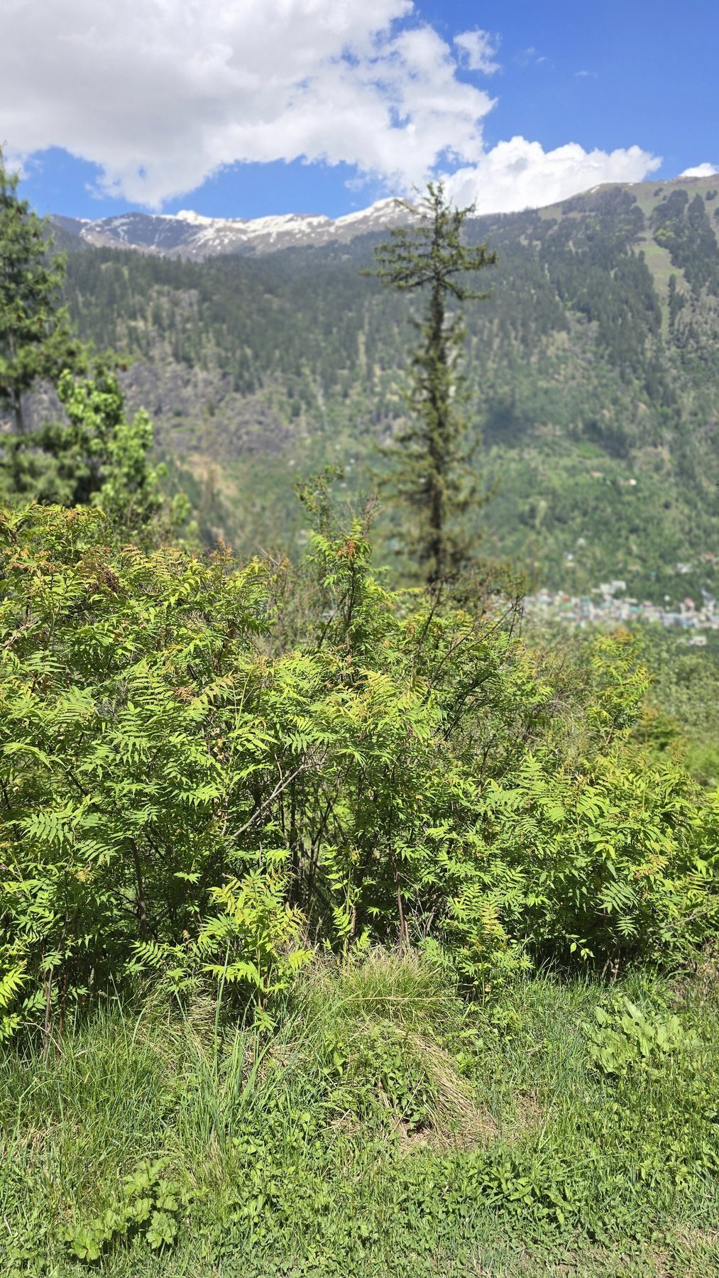 02
02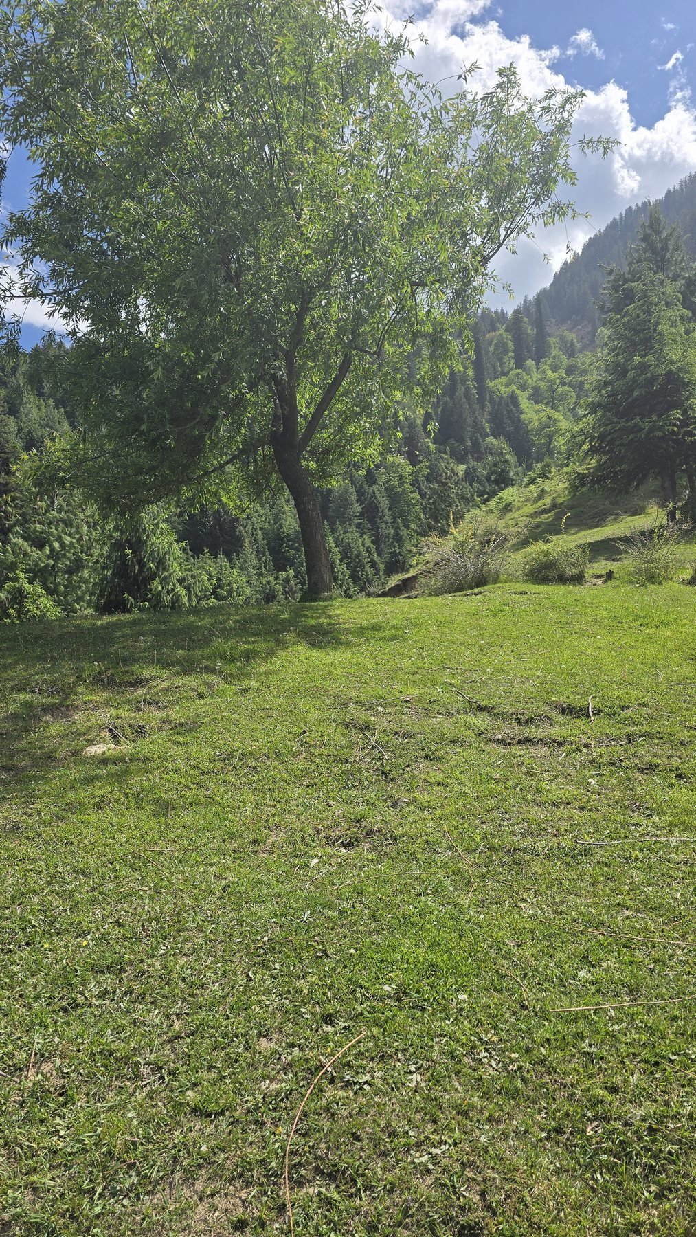 03
03Ask for the current start point, distance, ascent and return time.
Open ground can feel very different from sheltered forest.
Do not assume the same route runs after heavy rain or road disruption.